|
©The Archaeological Settlements of Turkey - TAY Project
|
|
|
|
|
|
S 63/23 |
|
|
For site maps and drawings please click on the picture...  |
For photographs please click on the photo... 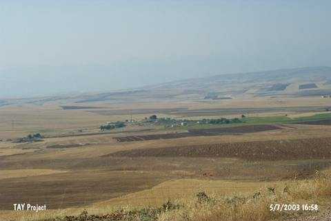 |
|
Type:
|
Mound |
|
Altitude:
|
825 m |
|
Region:
|
Southeastern Anatolia |
|
Province:
|
Siirt |
|
District:
|
Kurtalan |
|
Village:
|
Erduragi |
|
Investigation Method:
|
Survey |
|
Period:
|
Middle |
|
|
|
 |
|
| The site lies within Siirt province; west of Kurtalan district; 2 km west of Erduragi (Kalemeran) village. No water source exists close to the mound measuring 350 m in N-S axis and 250 m in E-W axis. It is discovered in 1963 during the survey conducted by the University of Istanbul and Chicago Oriental Institute. The earliest finds date to Halaf-Ubaid Transition Period. |
| Location: |
| Geography and Environment: |
| History: |
| Research and Excavation: |
| Stratigraphy: |
| Small Finds: |
| Remains: |
| Interpretation and Dating: |