|
©The Archaeological Settlements of Turkey - TAY Project
|
|
|
|
|
|
Pinarlar / Hastahane Köy |
|
|
For site maps and drawings please click on the picture...  |
For photographs please click on the photo... 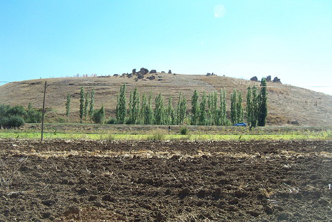 |
|
Type:
|
Upland Settlement |
|
Altitude:
|
m |
|
Region:
|
Mediterranean |
|
Province:
|
Adana |
|
District:
|
Tufanbeyli |
|
Village:
|
Pinarlar |
|
Investigation Method:
|
Survey |
|
Period:
|
EBA III |
|
|
|
 |
|
| It stands on a large natural rocky hill; locally called Kale; 1 km north of Pinarlar Village; some 1.5-2 km south of Tufanbeyli District; northeast of Adana Province. It has a limestone formation. It looks like a castle. A thin cultural deposit is visible on the surface. It overlooks the narrow plain; located south of Magara and the underlying stream. The surface collection carried out by J.M. Brown in 1965 yielded sherds of coarse ware; ware akin to metallic ware and coarse kitchen ware dating from the EBA. Presence of sherds dating from the Colonial Age exposes that the site had also been occupied at the end of the third millennium BC and the beginning of the second millennium BC Also found is a big axe in diorite. The site was reinvestigated under the directorship of K.S. Girginer in 2002 and named as Gala Tepe. There were two EBA potsherds among the collected material; one of them was rough; hand made; red washed bowl fragment with carination and the other one was black pasted; burnished and washed bowl fragment with pellet decoration and carination. Most of the finds were dated to 2nd millennium BC and besides these; there were also Late Hellenistic and Roman Period material was found. It was reported that a group of finds consisiting of flint cores and fragments which was looking as they had been dragged here were collected. Although one of them was probably dated to Middle Palaeolithic it was stated that a further investigation was needed. |
| Location: |
| Geography and Environment: |
| History: |
| Research and Excavation: |
| Stratigraphy: |
| Small Finds: |
| Remains: |
| Interpretation and Dating: |