|
©The Archaeological Settlements of Turkey - TAY Project
|
|
|
|
|
|
Pazaryeri 2 |
|
|
For site maps and drawings please click on the picture...  |
For photographs please click on the photo... 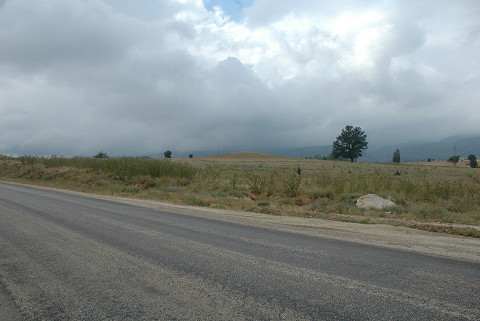 |
|
Type:
|
Mound |
|
Altitude:
|
700 m |
|
Region:
|
Marmara |
|
Province:
|
Bilecik |
|
District:
|
Pazaryeri |
|
Village:
|
Merkez |
|
Investigation Method:
|
Survey |
|
Period:
|
Late |
|
|
|
 |
|
| The mound lies south-southwest of Bilecik; 3 km east of Pazaryeri. The small mound with a diameter of 150 m is discovered during the 1965 survey by D.H. French. Late Chalcolithic Age; EBA 1; EBA 3; and MBA-LBA sherds are collected from the surface during the survey by T. Efe. Silex and sherds were found above the mound and environs during the visit by TAYEx Bizans Marmara in 2008 [TAYEx 2008]. |
| Location: |
| Geography and Environment: |
| History: |
| Research and Excavation: |
| Stratigraphy: |
| Small Finds: |
| Remains: |
| Interpretation and Dating: |