|
©The Archaeological Settlements of Turkey - TAY Project
|
|
|
|
|
|
Pazaryeri 1 |
|
|
For site maps and drawings please click on the picture...  |
For photographs please click on the photo... 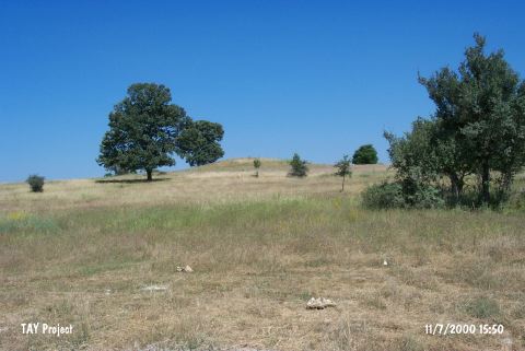 |
|
Type:
|
Mound |
|
Altitude:
|
780 m |
|
Region:
|
Marmara |
|
Province:
|
Bilecik |
|
District:
|
Pazaryeri |
|
Village:
|
Merkez |
|
Investigation Method:
|
Survey |
|
Period:
|
Late |
|
|
|
 |
|
| The mound lies southwest of Bilecik; 2.5 km east of Pazaryeri; 250 m south of the road from Pazaryeri (via Bozhöyük) to Eskisehir. A small stream runs close to the small mound; with a height of 4 m and a diameter of 75 m; lying on a natural elevation. It is locally known as Karaagaç Mevkii. Chalcolithic Age black burnished ware sherds are collected from the surface by J. Mellaart in 1960 and by D.H. French in 1965. Moreover; Efe states that Late Chalcolithic Age; EBA; and MBA-LBA sherds are existent on the surface of the mound. |
| Location: |
| Geography and Environment: |
| History: |
| Research and Excavation: |
| Stratigraphy: |
| Small Finds: |
| Remains: |
| Interpretation and Dating: |