|
©The Archaeological Settlements of Turkey - TAY Project
|
|
|
|
|
|
Asagi Mollahasan |
|
|
For site maps and drawings please click on the picture...  |
For photographs please click on the photo... 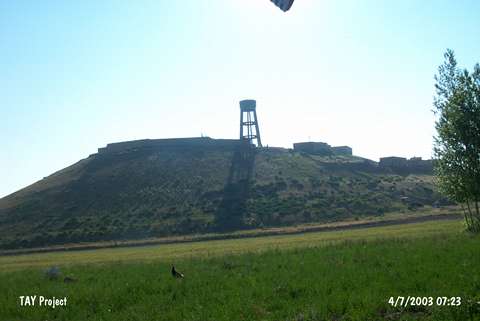 |
|
Type:
|
Mound |
|
Altitude:
|
1910 m |
|
Region:
|
Eastern Anatolia |
|
Province:
|
Van |
|
District:
|
Özalp |
|
Village:
|
Asagi Mollahasan |
|
Investigation Method:
|
Survey |
|
Period:
|
|
|
|
|
 |
|
| It lies at the end of a natural ridge, immediate west of Asagi Mollahasan Village, west of Özalp District, northeast of Van Province. To the north-northeast passes a railway and the Van-Özalp motorway. To the west there is a water channel and 20 m northeast a water reservoir. It is reported to be a conic-shaped mound. There is a surveypoint on top hill. It measures 5 m in height and 100 m in diameter. It was discovered by C.A. Burney. Sherds dating from the EBA were collected from the surface. It was revisited during the Survey on the Provinces of Van, Agri and Igdir conducted by A. Özfirat et al. in 2006, and sherds of Kura-Aras pottery dating from the EBA were collected from the surface (Kod O72/5) [Özfırat 2008:198]. |
| Location: |
| Geography and Environment: |
| History: |
| Research and Excavation: |
| Stratigraphy: |
| Small Finds: |
| Remains: |
| Interpretation and Dating: |