|
©The Archaeological Settlements of Turkey - TAY Project
|
|
|
|
|
|
Pazar Tepesi |
|
|
For site maps and drawings please click on the picture...  |
For photographs please click on the photo... 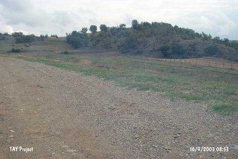 |
|
Type:
|
Mound |
|
Altitude:
|
600 m |
|
Region:
|
Black Sea |
|
Province:
|
Sinop |
|
District:
|
Boyabat |
|
Village:
|
Erkeç |
|
Investigation Method:
|
Survey |
|
Period:
|
|
|
|
|
 |
|
| It stands on a natural hill; south of Erkeç Village; southwest of Boyabat District; south of Sinop Province. It is to the south of the village of Kise and southwest of the village of Esengazili. To the north-northwest of the site is the Keltipi hill and to the south-southeast Beylik Güneyi hill. It was discovered during a survey conducted by S. Dönmez in 1998. It measures 5 m in height and 70x50 m in dimensions. Sherds only dating from the EBA were collected from the surface. |
| Location: |
| Geography and Environment: |
| History: |
| Research and Excavation: |
| Stratigraphy: |
| Small Finds: |
| Remains: |
| Interpretation and Dating: |