|
©The Archaeological Settlements of Turkey - TAY Project
|
|
|
|
|
|
Asagi Keferzo |
|
|
For site maps and drawings please click on the picture...  |
For photographs please click on the photo... 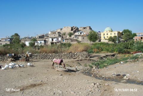 |
|
Type:
|
Mound |
|
Altitude:
|
730 m |
|
Region:
|
Southeastern Anatolia |
|
Province:
|
Batman |
|
District:
|
Merkez |
|
Village:
|
Yenipinar |
|
Investigation Method:
|
Survey |
|
Period:
|
|
|
|
|
 |
|
| It is obscured by the village it was named after; 8 km south of Besir District; east of Batman Province. Buildings of Asagi Keferzo (Yesilpinar) Village cover the top hill and the terraces of the mound which is 20 m high. To the west flow shallow streams like Avzine. In 1963; the team under P. Benedict collected several sherds from an area of 75 m in diameter including the wares of EBA production. The year the survey was conducted; there was only one building on the top hill. It is coded under S 62 / 5. |
| Location: |
| Geography and Environment: |
| History: |
| Research and Excavation: |
| Stratigraphy: |
| Small Finds: |
| Remains: |
| Interpretation and Dating: |