|
©The Archaeological Settlements of Turkey - TAY Project
|
|
|
|
|
|
Örentepe / Mut |
|
|
For site maps and drawings please click on the picture...  |
For photographs please click on the photo... 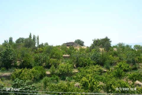 |
|
Type:
|
Mound |
|
Altitude:
|
380 m |
|
Region:
|
Mediterranean |
|
Province:
|
Mersin |
|
District:
|
Mut |
|
Village:
|
Merkez |
|
Investigation Method:
|
Survey |
|
Period:
|
|
|
|
|
 |
|
| It lies in Deveci Quarter; southwest of Mut District of Mersin Province. It overlooks Dölek Mevkii in southwest direction. It is surrounded by rural areas and fruit trees. Mut-Mirahor road passes east of the mound. It was discovered by D. French and dated to EBA. It was visited by T.E. Serifoglu and his team in 2014 during the survey initiated due to investigation of the area will be flooded by the Kayraktepe Dam to be built on the Göksu Valley in Mersin. [Serifoglu 2016:265]. It takes place in the registered archaeological sites list prepared by Ministry of Culture and Tourism. |
| Location: |
| Geography and Environment: |
| History: |
| Research and Excavation: |
| Stratigraphy: |
| Small Finds: |
| Remains: |
| Interpretation and Dating: |