|
©The Archaeological Settlements of Turkey - TAY Project
|
|
|
|
|
|
Ören |
|
|
For site maps and drawings please click on the picture...  |
For photographs please click on the photo... 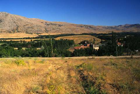 |
|
Type:
|
Mound |
|
Altitude:
|
1135 m |
|
Region:
|
Eastern Anatolia |
|
Province:
|
Malatya |
|
District:
|
Akçadag |
|
Village:
|
Ören |
|
Investigation Method:
|
Survey |
|
Period:
|
|
|
|
|
 |
|
| It is located south of Ören Village; immediate east of the Akçadag-Dogansehir motorway; south of Akçadag District; southwest of Malatya Province. There is a water spring 10 m away from its western skirt. It is a medium size mound that measures ca. 20 m in height and 150 m in diameter. It was discovered by C.A. Burney. Sherds of the black burnished Karaz ware and the red-brown burnished ware dating from EBA were collected from the surface. It takes place in the registered archaeological sites list prepared by Ministry of Culture and Tourism. |
| Location: |
| Geography and Environment: |
| History: |
| Research and Excavation: |
| Stratigraphy: |
| Small Finds: |
| Remains: |
| Interpretation and Dating: |