|
©The Archaeological Settlements of Turkey - TAY Project
|
|
|
|
|
|
Ovaköy 3 |
|
|
For site maps and drawings please click on the picture...  |
For photographs please click on the photo... 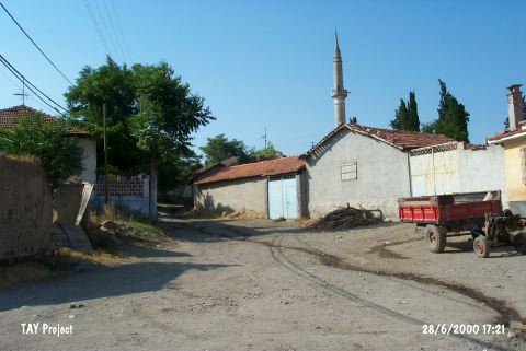 |
|
Type:
|
Mound |
|
Altitude:
|
120 m |
|
Region:
|
Marmara |
|
Province:
|
Balikesir |
|
District:
|
Altieylül |
|
Village:
|
Ovaköy |
|
Investigation Method:
|
Survey |
|
Period:
|
|
|
|
|
 |
|
| The mound is located southeast of Balikesir; in Ovaköy village. The 12 m high mound with a diameter of 100 m is occupied by the modern settlement and its western section is cut and partially destroyed by Ovaköy stream. The mound; lying in Balikesir plain; was first published by Stewart; labeled as Yalik and then again; by Mellaart with the same name. During his 1959 survey on the mound; D.H. French has collected sherds similar to Kumtepe I b black burnished ware [French 1969:44]. Existence of EBA and LBA settlements on the mound is probable. It was visited during the survey conducted by D. Yalçikli and his team in 2015 [Yalçikli 2017:418]. |
| Location: |
| Geography and Environment: |
| History: |
| Research and Excavation: |
| Stratigraphy: |
| Small Finds: |
| Remains: |
| Interpretation and Dating: |