|
©The Archaeological Settlements of Turkey - TAY Project
|
|
|
|
|
|
Otmanli Höyük |
|
|
For site maps and drawings please click on the picture...  |
For photographs please click on the photo... 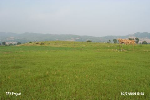 |
|
Type:
|
Mound |
|
Altitude:
|
200 m |
|
Region:
|
Mediterranean |
|
Province:
|
Kahramanmaras |
|
District:
|
Andirin |
|
Village:
|
Anacik |
|
Investigation Method:
|
Survey |
|
Period:
|
Middle |
|
|
|
 |
|
| The mound is located south of Andirin district of Kahramanmaras; 2.5 km west-southwest of Anacik village; 2.100 m southeast of Gökahmetli village; 750 m south-southeast of Anacik-Hasimler quarter; in Otmanli Mevkii. The broad and shallow mound with a height of 5-6 m and dimensions of 100x70 m lies on a slightly wavy ground. The eastern section is rather steep whereas the western section is rather broad and shallow with insignificant terraces. Two pits dug illicitly on the mound are observed during the 1976 Aslantas Dam Survey Project conducted by H. Çambel. Foundation stones and conflagrated deposits are recovered from the sections of these pits. Ubaid and Uruk ware sherds are collected from the surface. |
| Location: |
| Geography and Environment: |
| History: |
| Research and Excavation: |
| Stratigraphy: |
| Small Finds: |
| Remains: |
| Interpretation and Dating: |