|
©The Archaeological Settlements of Turkey - TAY Project
|
|
|
|
|
|
Aslanapa |
|
|
For site maps and drawings please click on the picture... 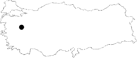 |
For photographs please click on the photo... 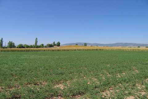 |
|
Type:
|
Mound |
|
Altitude:
|
1000 m |
|
Region:
|
Aegean |
|
Province:
|
Kütahya |
|
District:
|
Aslanapa |
|
Village:
|
Merkez |
|
Investigation Method:
|
Survey |
|
Period:
|
EBA I |
|
|
|
 |
|
| It is located in the southern entrance of Aslanapa Village and 700 m south of it; northwest of Altintas District ; south of Kütahya Province. It measures 5 m in height and 140 m in diamater. It was discovered by J. Mellaart and investigated in detail by T. Efe during a survey conducted in this region in 1991. Groups of materials dating from the Early/Middle Chalcolithic and the EBA I were collected from the surface. Materials of the EBA I bear the typical characteristics of the "Beycesultan group". It takes place in the registered archaeological sites list prepared by Ministry of Culture and Tourism. |
| Location: The mound lies 25 km southwest of the city of Kütahya; 700 m south of Aslanapa Town; left of the southern entrance of the town. |
| Geography and Environment: A large pit dug years ago is striking on the broad and flat mound; measuring 5 m in height and 140 m in diameter. There is no water source nearby. |
| History: |
| Research and Excavation: |
| Stratigraphy: |
| Small Finds: |
| Remains: |
| Interpretation and Dating: |