|
©The Archaeological Settlements of Turkey - TAY Project
|
|
|
|
|
|
Orman Mektebi Höyük |
|
|
For site maps and drawings please click on the picture...  |
For photographs please click on the photo... 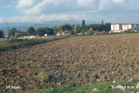 |
|
Type:
|
Mound |
|
Altitude:
|
755 m |
|
Region:
|
Black Sea |
|
Province:
|
Bolu |
|
District:
|
Merkez |
|
Village:
|
Merkez |
|
Investigation Method:
|
Survey |
|
Period:
|
|
|
|
|
 |
|
| The 60x100 m mound; 5 m high above the level of the nearby stream; is located in Bolu; south of Orman Mektebi. The site was discovered by R. Oguz Arik during the surveys conducted by TTK in 1942. The finds date back to the Chalcolithic Age; Hittite and Phrygian Periods [Arik 1944:344-345]. Tools made of obsidian; zoomorphic vessels are among the finds. In addition; an anthropomorphic vessel; which is of brown; buff; burnished ware; was recovered. It resembles Hacilar 1 vessels [Mellaart 1970:182]. |
| Location: |
| Geography and Environment: |
| History: |
| Research and Excavation: |
| Stratigraphy: |
| Small Finds: |
| Remains: |
| Interpretation and Dating: |