|
©The Archaeological Settlements of Turkey - TAY Project
|
|
|
|
|
|
Oluklu Hüyük |
|
|
For site maps and drawings please click on the picture...  |
For photographs please click on the photo... 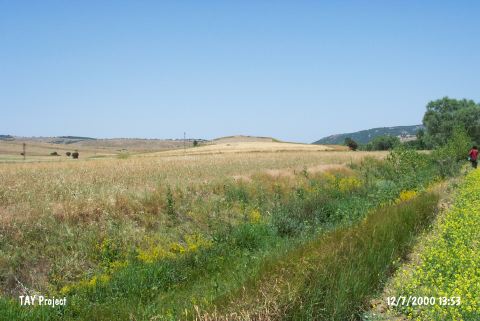 |
|
Type:
|
Mound |
|
Altitude:
|
965 m |
|
Region:
|
Marmara |
|
Province:
|
Bilecik |
|
District:
|
Sögüt |
|
Village:
|
Oluklu |
|
Investigation Method:
|
Survey |
|
Period:
|
|
|
|
|
 |
|
| It lies in Yukari Yüv Mevkii; 1.5 km south of Oluklu Village; north of Eskisehir Province. It is in a slightly rough terrain. Kermik stream flows from its east. This area is locally known as Üyükaga Mevkii. It was discovered in the vicinity of Eskisehir Plain during the 1998 Kütahya; Bilecik and Eskisehir survey conducted by T. Efe. It measures ca. 10 m in height and 200 m in diameter. Numerous materials dating to the second millennium BC were collected from the surface. It was also stated that the third millennium BC is represented very strongly in the lower levels. It is listed in the registered archaeological sites inventory prepared by Ministry of Culture and Tourism. |
| Location: |
| Geography and Environment: |
| History: |
| Research and Excavation: |
| Stratigraphy: |
| Small Finds: |
| Remains: |
| Interpretation and Dating: |