|
©The Archaeological Settlements of Turkey - TAY Project
|
|
|
|
|
|
Nergis |
|
|
For site maps and drawings please click on the picture...  |
For photographs please click on the photo... 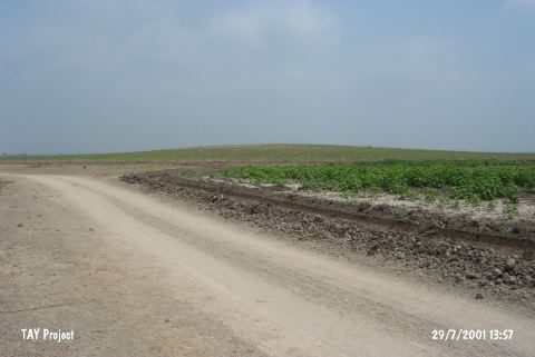 |
|
Type:
|
Mound |
|
Altitude:
|
50 m |
|
Region:
|
Mediterranean |
|
Province:
|
Adana |
|
District:
|
Karatas |
|
Village:
|
Kesik |
|
Investigation Method:
|
Survey |
|
Period:
|
EBA III |
|
|
|
 |
|
| It lies 2.7 km west of Kesik Village; 15 km northeast of Karatas District; southeast of Adana Province. It is a low mound. It is 5 m high. It was discovered during the Cilicia Survey conducted under M.V. Seton-Williams in 1951. It is suggested that prehistoric levels are more than the levels of other periods. Find of a goblet-like beaker (for fruits) exposes the presence of an EBA III settlement. Besides EBA material; pottery of the Hittite; Roman and Islamic Periods was recovered. |
| Location: |
| Geography and Environment: |
| History: |
| Research and Excavation: |
| Stratigraphy: |
| Small Finds: |
| Remains: |
| Interpretation and Dating: |