|
©The Archaeological Settlements of Turkey - TAY Project
|
|
|
|
|
|
Nal Tepesi |
|
|
For site maps and drawings please click on the picture...  |
For photographs please click on the photo... 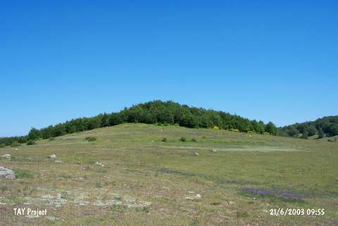 |
|
Type:
|
Mound |
|
Altitude:
|
1450 m |
|
Region:
|
Black Sea |
|
Province:
|
Ordu |
|
District:
|
Mesudiye |
|
Village:
|
Aricilar |
|
Investigation Method:
|
Survey |
|
Period:
|
EBA I |
|
|
|
 |
|
| It lies 4 km southeast of Aricilar Village; in the plateau of Aricilar Village; south of Ordu Province. Sayaca stream flows from the east of the mound. It was discovered during the 1991 Ordu-Mesudiye survey conducted by M. Özsait. The southwestern part of the settlement has been severely damaged. Fine grit tempered; well fired; exteriorly and interiorly black-gray; brown or red washed; well burnished EBA I pottery was collected from the surface. |
| Location: |
| Geography and Environment: |
| History: |
| Research and Excavation: |
| Stratigraphy: |
| Small Finds: |
| Remains: |
| Interpretation and Dating: |