|
©The Archaeological Settlements of Turkey - TAY Project
|
|
|
|
|
|
Musluçesme Mevkii |
|
|
For site maps and drawings please click on the picture...  |
For photographs please click on the photo... 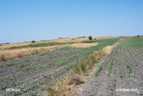 |
|
Type:
|
Flat Settlement |
|
Altitude:
|
63 m |
|
Region:
|
Marmara |
|
Province:
|
Balikesir |
|
District:
|
Bandirma |
|
Village:
|
Aksakal |
|
Investigation Method:
|
Survey |
|
Period:
|
Aceramic |
|
|
|
 |
|
| This site lies north of the city of Balikesir; northeast of the town of Manyas; 3 km west of the district of Aksakal; west of the local train station. It is possible to reach the site via the turnoff to the Aksakal Train Station from the Bandirma-Aksakal highway on route to Susurluk. The site lies on the eastern terraces of Lake Manyas; immediately west of Musluçesme in an area which is approximately 100x150 m in extent. There is a spring known as Esenlik in the southern part of the site. Musluçesme Mevkii was discovered in 1989 by M. Özdogan. Bladelets and a few obsidian tools were found. The site has been assigned to the Aceramic Neolithic Period. It is an important site because it shows the population shifts of Early Agricultural Societies. Code H 9/15. |
| Location: |
| Geography and Environment: |
| History: |
| Research and Excavation: |
| Stratigraphy: |
| Small Finds: |
| Remains: |
| Interpretation and Dating: |