|
©The Archaeological Settlements of Turkey - TAY Project
|
|
|
|
|
|
Molla Ahmet |
|
|
For site maps and drawings please click on the picture...  |
For photographs please click on the photo... 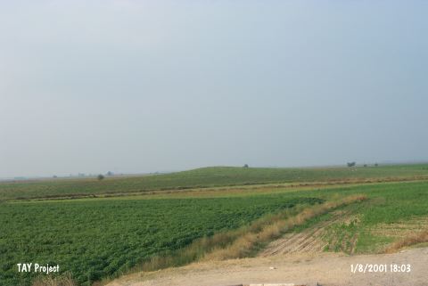 |
|
Type:
|
Mound |
|
Altitude:
|
80 m |
|
Region:
|
Mediterranean |
|
Province:
|
Adana |
|
District:
|
Ceyhan |
|
Village:
|
Incetarla |
|
Investigation Method:
|
Survey |
|
Period:
|
|
|
|
|
 |
|
| The mound lies south of İncetarla (Mercin) Village; north of Adana-Osmaniye highway; 6 km northeast of Ceyhan District; east of Adana Province. It is 5 m high. Both basalt and obsidian fragments were recovered from the surface. It was discovered during the Cilicia Survey conducted by M.V. Seton-Williams in 1951. Sherds of the Chalcolithic Age [Harmankaya et al. 1998:Molla Ahmet]; the LBA; the Iron Age; the Hellenistic; Roman and Byzantine Periods were recovered as well as the red and black burnished ware of the EBA. It takes place in the registered archaeological sites list prepared by Ministry of Culture and Tourism. |
| Location: |
| Geography and Environment: |
| History: |
| Research and Excavation: |
| Stratigraphy: |
| Small Finds: |
| Remains: |
| Interpretation and Dating: |