|
©The Archaeological Settlements of Turkey - TAY Project
|
|
|
|
|
|
Misis |
|
|
For site maps and drawings please click on the picture... 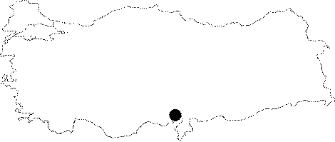 |
For photographs please click on the photo... 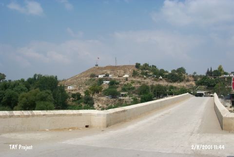 |
|
Type:
|
Mound |
|
Altitude:
|
50 m |
|
Region:
|
Mediterranean |
|
Province:
|
Adana |
|
District:
|
Merkez |
|
Village:
|
Yakapinar |
|
Investigation Method:
|
Excavation |
|
Period:
|
|
|
|
|
 |
|
| This site lies in Yakapinar (Misis) Sub-distirct; east of the city of Adana; in a place where the Ceyhan River can be easily crossed; on the motorway running from Beilan to Bahçe. Given this strategical position; it might have been a significant settlement throughout the ages. Prehistoric levels of Misis seem to have thick deposits. It was carefully investigated during a survey conducted by M.V. Seton-Williams in 1951. Pottery collected from the surface exposes that the site had been inhabited from the Chalcolithic Age to the Islamic Period. Samples of the plain ware and the metallic ware recovered belong to the EBA. It takes place in the registered archaeological sites list prepared by Ministry of Culture and Tourism. |
| Location: This site lies in Yakapinar (Misis) Subdistrict; east of the city of Adana. It appears on all touristic maps because it was a Roman and Byzantine city. |
| Geography and Environment: The large mound of Misis lies on a natural ridge along the Ceyhan River. There was a Roman-Byzantine city on both sides of the Ceyhan River; especially on the western bank. |
| History: |
| Research and Excavation: |
| Stratigraphy: |
| Small Finds: |
| Remains: |
| Interpretation and Dating: |