|
©The Archaeological Settlements of Turkey - TAY Project
|
|
|
|
|
|
Misis |
|
|
For site maps and drawings please click on the picture... 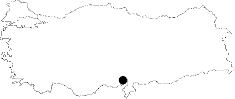 |
For photographs please click on the photo... 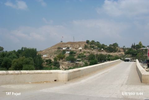 |
|
Type:
|
Mound |
|
Altitude:
|
50 m |
|
Region:
|
Mediterranean |
|
Province:
|
Adana |
|
District:
|
Merkez |
|
Village:
|
Yakapinar |
|
Investigation Method:
|
Excavation |
|
Period:
|
Middle Late |
|
|
|
 |
|
| This site lies in Yakapinar (Misis) Sub-distirct; east of the city of Adana [Harmankaya et al. 1997:Misis]. It is discovered by M.V. Seton-Williams in 1951. The collected sherds display similarities with chevron decorated wares of Mersin Yumuktepe XIX.-XVII. Levels and Ubaid-Coba wares of Sakçagözü IV a-b Levels. The settlement is placed in the 7th and 9th phases of ASPRO. It takes place in the registered archaeological sites list prepared by Ministry of Culture and Tourism. |
| Location: This site lies in Yakapinar (Misis) Subdistrict; east of the city of Adana. It appears on all touristic maps because it was a Roman and Byzantine city. |
| Geography and Environment: The large mound of Misis lies on a natural ridge along the Ceyhan River. There was a Roman-Byzantine city on both sides of the Ceyhan River; especially on the western bank. |
| History: |
| Research and Excavation: |
| Stratigraphy: |
| Small Finds: |
| Remains: |
| Interpretation and Dating: |