|
©The Archaeological Settlements of Turkey - TAY Project
|
|
|
|
|
|
Mescitli Hamamtepe |
|
|
For site maps and drawings please click on the picture...  |
For photographs please click on the photo... 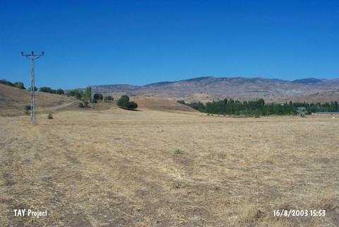 |
|
Type:
|
Mound |
|
Altitude:
|
540 m |
|
Region:
|
Black Sea |
|
Province:
|
Çorum |
|
District:
|
Laçin |
|
Village:
|
Mescitli |
|
Investigation Method:
|
Survey |
|
Period:
|
|
|
|
|
 |
|
| It lies left of the village road while entering to Mescitli Village of Laçin District; north of Çorum District. It measures 15 m in height and 95x75 m in dimensions. During the 1996 Survey of Çorum Province conducted under T. Sipahi and T. Yildirim; pottery of the third millennium BC; the second millennium BC and the Iron Age were collected from the surface. It is reported that traces of mud bricks can be seen through the pits on the surface. |
| Location: |
| Geography and Environment: |
| History: |
| Research and Excavation: |
| Stratigraphy: |
| Small Finds: |
| Remains: |
| Interpretation and Dating: |