|
©The Archaeological Settlements of Turkey - TAY Project
|
|
|
|
|
|
Mecidiye |
|
|
For site maps and drawings please click on the picture...  |
For photographs please click on the photo... 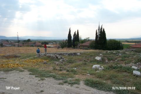 |
|
Type:
|
Mound |
|
Altitude:
|
110 m |
|
Region:
|
Aegean |
|
Province:
|
Manisa |
|
District:
|
Akhisar |
|
Village:
|
Mecidiye |
|
Investigation Method:
|
Survey |
|
Period:
|
|
|
|
|
 |
|
| The mound is located northeast of Manisa; west-southwest of Akhisar district; in the western setion of Mecidiye (Palamut) Village; adjacent to the old mosque. It was discovered in 1959 during a survey conducted by D.H. French. The top hill is obscured by Mecidiye Village. It measures 5 m in height and 100 m in diameter. Presence of sherds on the walls of the modern houses exposes that the soil of the mound was used while making mud-walling. Grey/black burnished and red slipped sherds of the EBA were collected from the surface. It takes place in the registered archaeological sites list prepared by Ministry of Culture and Tourism. |
| Location: |
| Geography and Environment: |
| History: |
| Research and Excavation: |
| Stratigraphy: |
| Small Finds: |
| Remains: |
| Interpretation and Dating: |