|
©The Archaeological Settlements of Turkey - TAY Project
|
|
|
|
|
|
Marmaracik |
|
|
For site maps and drawings please click on the picture... 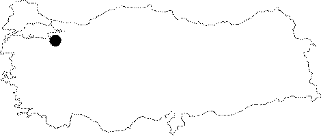 |
For photographs please click on the photo... 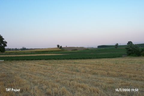 |
|
Type:
|
Mound |
|
Altitude:
|
292 m |
|
Region:
|
Marmara |
|
Province:
|
Bursa |
|
District:
|
Yenisehir |
|
Village:
|
Marmaracik |
|
Investigation Method:
|
Survey |
|
Period:
|
Ceramic |
|
|
|
 |
|
| This site lies east of the city of Bursa; 3 km south of the village of Marmaracik and immediately south of the Yenisehir-Bursa highway. This area is locally known as Tumba Mevkii. It is 5 m high and has a 100 m diameter. It is located at the edge of the ridge that extends into the small lake and swamp area in the south. The site was researched in 1960 by J. Mellaart; in 1961 by D. French and in 1964 by Cullberg. In the report of the surface survey conducted by the University of Istanbul; Faculty of Literature; Department of Prehistorical Archaeology it was mentioned that the ceramics from this site show close affinity with the ware from the sites of Fikirtepe-Pendik. The site is important because it provides information on the extent of the Fikirtepe horizon style. It takes place in the registered archaeological sites list prepared by Ministry of Culture and Tourism. |
| Location: |
| Geography and Environment: |
| History: |
| Research and Excavation: |
| Stratigraphy: |
| Small Finds: |
| Remains: |
| Interpretation and Dating: |