|
©The Archaeological Settlements of Turkey - TAY Project
|
|
|
|
|
|
Maltepesi |
|
|
For site maps and drawings please click on the picture...  |
For photographs please click on the photo... 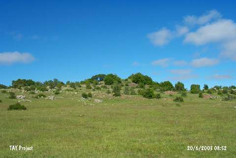 |
|
Type:
|
Upland Settlement |
|
Altitude:
|
1530 m |
|
Region:
|
Black Sea |
|
Province:
|
Ordu |
|
District:
|
Mesudiye |
|
Village:
|
Çardakli |
|
Investigation Method:
|
Survey |
|
Period:
|
|
|
|
|
 |
|
| It lies southeast of the Topdurak Stream; 500 m north of Çardakli Village of Mesudiye District; south of Ordu Province. It stands on an elevation far north of the two hills on the southeast of the Topdurak Stream. It was discovered during the 1991 Ordu-Mesudiye Survey conducted by M. Özsait. Sherds collected from the surface are mostly made of black and brown paste; fine grit and plant tempered; moderately fired ware. Exterior and interior surfaces are in red; light and dark brown. A few fragments washed in black were also recovered. The number of profiled sherds is poor. Also found is material dating from the Chalcolithic Age. |
| Location: |
| Geography and Environment: |
| History: |
| Research and Excavation: |
| Stratigraphy: |
| Small Finds: |
| Remains: |
| Interpretation and Dating: |