|
©The Archaeological Settlements of Turkey - TAY Project
|
|
|
|
|
|
Arslanlar |
|
|
For site maps and drawings please click on the picture...  |
For photographs please click on the photo... 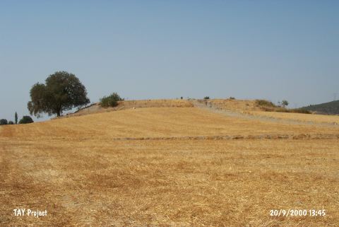 |
|
Type:
|
Mound |
|
Altitude:
|
45 m |
|
Region:
|
Aegean |
|
Province:
|
Izmir |
|
District:
|
Torbali |
|
Village:
|
Arslanlar |
|
Investigation Method:
|
Survey |
|
Period:
|
Late |
|
|
|
 |
|
| The mound lies southeast of Izmir; east of Torbali; about 1.5 km northwest of Arslanlar village. It was discovered by N. Tuna in 1985-86 during the Ionia and Datça Archaeological Survey Project. The mound covers an area of 3.5 hectares and has a 5-6 m thick cultural deposit. Due to the distribution of the pottery; it has been interpretated that the site was settled from the beginning of Chalcolithic Period until the Iron Age. It takes place in the registered archaeological sites list prepared by Ministry of Culture and Tourism. |
| Location: |
| Geography and Environment: |
| History: |
| Research and Excavation: |
| Stratigraphy: |
| Small Finds: |
| Remains: |
| Interpretation and Dating: |