|
©The Archaeological Settlements of Turkey - TAY Project
|
|
|
|
|
|
Maltepesi |
|
|
For site maps and drawings please click on the picture...  |
For photographs please click on the photo... 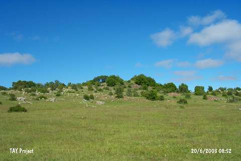 |
|
Type:
|
Upland Settlement |
|
Altitude:
|
1530 m |
|
Region:
|
Black Sea |
|
Province:
|
Ordu |
|
District:
|
Mesudiye |
|
Village:
|
Çardakli |
|
Investigation Method:
|
Survey |
|
Period:
|
|
|
|
|
 |
|
| The mound is located southwest of Ordu and of Mesudiye district; 500 m north of Çardakli village; on one of the two natural hills southeast of Topdurak stream. On and around the mound; a surface collecting is conducted by M. Özsait in 1991. The ratio of the collected materials imply an intense EBA 1 settlement and a Chalcolithic Age settlement represented with fewer finds. |
| Location: |
| Geography and Environment: |
| History: |
| Research and Excavation: |
| Stratigraphy: |
| Small Finds: |
| Remains: |
| Interpretation and Dating: |