|
©The Archaeological Settlements of Turkey - TAY Project
|
|
|
|
|
|
Maltepe / Tepealti |
|
|
For site maps and drawings please click on the picture...  |
For photographs please click on the photo... 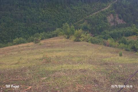 |
|
Type:
|
Mound |
|
Altitude:
|
585 m |
|
Region:
|
Black Sea |
|
Province:
|
Sinop |
|
District:
|
Merkez |
|
Village:
|
Tepealti |
|
Investigation Method:
|
Survey |
|
Period:
|
|
|
|
|
 |
|
| It lies down to Göllü Village; south of Altinyayla Village; about 2 km south of the Tepealti Village exit; south of Sinop Province. To the west of it is the quarter of Kemer and to the northwest the creek of Hir. It was discovered M.A. Isin. It measures 4 m in height and 30 m in width. Only a limited number of EBA material was collected from the surface. It takes place in the registered archaeological sites list prepared by Ministry of Culture and Tourism. |
| Location: |
| Geography and Environment: |
| History: |
| Research and Excavation: |
| Stratigraphy: |
| Small Finds: |
| Remains: |
| Interpretation and Dating: |