|
©The Archaeological Settlements of Turkey - TAY Project
|
|
|
|
|
|
Lidar Höyük |
|
|
For site maps and drawings please click on the picture... 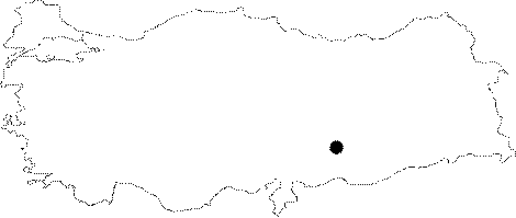 |
For photographs please click on the photo...  |
|
Type:
|
Mound |
|
Altitude:
|
448 m |
|
Region:
|
Southeastern Anatolia |
|
Province:
|
Sanliurfa |
|
District:
|
Bozova |
|
Village:
|
Dikili |
|
Investigation Method:
|
Excavation |
|
Period:
|
Late |
|
|
|
 |
|
| Location: The mound is located northwest of Sanliurfa; just southwest of the village of Lidar 23 km north of the district of Bozova. The site is partially occupied by the modern village and since it was on Euphrates' bank it is today inundated by Atatürk Dam. The location code of the site is T 51 / 40. |
| Geography and Environment: The 200x240 m mound is 25 m high from the plain it is on. It is quite a large site together with its cone and its northeast and southwest terraces. There is a 100x110 m plain area on the top of the mound following the rather steep slopes. It was probably a preferable site to settle since at this location; it is possible to cross over the Euphrates. It may be assumed that the site; together with Gritille right across it; was controlling this essential route. |
| History: |
| Research and Excavation: The site is discovered in 1977 and excavated under H. Hauptmann in the name of the German Archaeological Institute and the University of Heidelberg from 1979 until the year it was flooded by the Dam (1987). Excavation lasted for 9 seasons were mainly concerned with the enlightment of the upper levels. The EBA levels were revealed by the stepped trench in the northwest and southwest. It takes place in the registered archaeological sites list prepared by Ministry of Culture and Tourism. |
| Stratigraphy: As a result of the excavations an the surface finds; Lidar Höyük was inhabited from the Chalcolithic to the beginning of the Medieval age. |
| Small Finds: Pottery: Sherds dating to Chalcolithic (Late Chalcolithic {?}) Age are recovered on the surface. These are in various kinds of ware such as dark faced non-burnished; dark faced burnished; chaff-faced; incised wares. The absence of Halaf and Ubaid Period finds from the surface assemblage has given way to the thought that the deposit of these levels are locked by the later; superimposed; cultural periods. |
| Remains: |
| Interpretation and Dating: The mound is the second largest site of the region after Samsat Höyügü. The Chalcolithic Age finds are recovered mostly at the lower sections of the western skirts. Early Bronze Age and 2nd Millennium BC levels of the site yield richer finds. The mound is settled also in Iron Age; Classical; and Post-Classical Periods. |