|
©The Archaeological Settlements of Turkey - TAY Project
|
|
|
|
|
|
Arpali 1 |
|
|
For site maps and drawings please click on the picture...  |
For photographs please click on the photo... 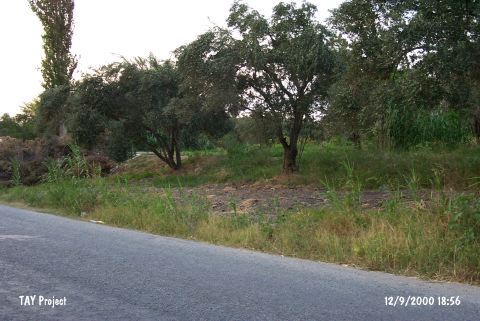 |
|
Type:
|
Mound |
|
Altitude:
|
100 m |
|
Region:
|
Aegean |
|
Province:
|
Manisa |
|
District:
|
Saruhanli |
|
Village:
|
Burhaniye |
|
Investigation Method:
|
Survey |
|
Period:
|
Late |
|
|
|
 |
|
| The mound; measuring 3 m height and 80x60 m in size; lies northeast of Manisa; east of Saruhanli; west of Burhaniye (Arpali) Village; just north of the village road to Nuriye. A fresh water spring is located close to the site. The mound was discovered by French during the Balikesir-Manisa Surveys in 1959. Black burnished Kumtepe I b type of sherds were found on the surface. In addition; EBA and MBA sherds were collected. It was researched again by E. Akdeniz et al. in 2007 and measured 100x80 m. Chalcolithic Age, EBA and MBA sherds were collected on the surface [Akdeniz 2009:259]. |
| Location: |
| Geography and Environment: |
| History: |
| Research and Excavation: |
| Stratigraphy: |
| Small Finds: |
| Remains: |
| Interpretation and Dating: |