|
©The Archaeological Settlements of Turkey - TAY Project
|
|
|
|
|
|
Küllüce |
|
|
For site maps and drawings please click on the picture...  |
For photographs please click on the photo... 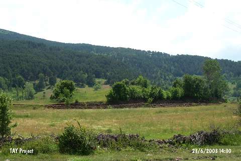 |
|
Type:
|
Mound |
|
Altitude:
|
1150 m |
|
Region:
|
Black Sea |
|
Province:
|
Ordu |
|
District:
|
Mesudiye |
|
Village:
|
Sarica |
|
Investigation Method:
|
Survey |
|
Period:
|
|
|
|
|
 |
|
| It is located in the Müslümsarica Quarter located on a high ridge; south of the Ordu-Mesudiye motorway; 3 km southwest of Mesudiye District; south of Ordu Province. The area is locally known as Kirazli Tepe. Müslümsarica-Mesudiye road passes from the east-northeast of the site. It was discovered during the 1993 Ordu-Mesudiye survey conducted by Mehmet Özsait. It stands on a natural hill. It measures ca. 10 m in height and 70x80 m in dimensions. EBA and Iron Age pottery was collected from the surface. It has been severely damaged. Besides pottery; blade tools; fragment of a shaft-holed hammer with a triangular tip were recovered. |
| Location: |
| Geography and Environment: |
| History: |
| Research and Excavation: |
| Stratigraphy: |
| Small Finds: |
| Remains: |
| Interpretation and Dating: |