|
©The Archaeological Settlements of Turkey - TAY Project
|
|
|
|
|
|
Arpali |
|
|
For site maps and drawings please click on the picture...  |
For photographs please click on the photo... 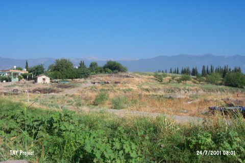 |
|
Type:
|
Mound |
|
Altitude:
|
100 m |
|
Region:
|
Mediterranean |
|
Province:
|
Hatay |
|
District:
|
Kirikhan |
|
Village:
|
Arpali |
|
Investigation Method:
|
Survey |
|
Period:
|
|
|
|
|
 |
|
| It locates in Arpali Village; northeast of Kirikhan District of Hatay Province. It lies west of the Karasu Stream; east of the motorway running from Kirikhan to the north. It is a large and flat mound. It was discovered during a survey conducted by R. Braidwood. Sherds of the Middle Age; the Roman Period and the EBA were collected from the surface. It takes place in the registered archaeological sites list prepared by Ministry of Culture and Tourism. |
| Location: |
| Geography and Environment: |
| History: |
| Research and Excavation: |
| Stratigraphy: |
| Small Finds: |
| Remains: |
| Interpretation and Dating: |