|
©The Archaeological Settlements of Turkey - TAY Project
|
|
|
|
|
|
Küçükyamadi Höyük |
|
|
For site maps and drawings please click on the picture...  |
For photographs please click on the photo... 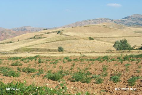 |
|
Type:
|
Mound |
|
Altitude:
|
720 m |
|
Region:
|
Central Anatolia |
|
Province:
|
Çorum |
|
District:
|
Ugurludag |
|
Village:
|
Küçük Erikli |
|
Investigation Method:
|
Survey |
|
Period:
|
|
|
|
|
 |
|
| It lies 12.5 km northeast of Tuglu; northwest of Küçük Erikli Village of Tuglu Sub-District; west-southwest of Çorum Province. It stands on a natural hill. It measures 150x75 m in dimensions. Poor number of sherds collected expose that it is more like a flat settlement rather than a mound. It had been inhabited for a short period of time. It was discovered by T. Sipahi and T. Yildirim in 1996. Sherds dating from the EBA and the Roman Period were collected from the surface. |
| Location: |
| Geography and Environment: |
| History: |
| Research and Excavation: |
| Stratigraphy: |
| Small Finds: |
| Remains: |
| Interpretation and Dating: |