|
©The Archaeological Settlements of Turkey - TAY Project
|
|
|
|
|
|
Armutlu (Bati-2) |
|
|
For site maps and drawings please click on the picture...  |
For photographs please click on the photo... 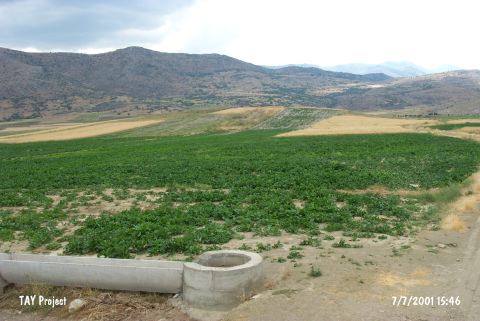 |
|
Type:
|
Mound |
|
Altitude:
|
1120 m |
|
Region:
|
Mediterranean |
|
Province:
|
Isparta |
|
District:
|
Sarkikaraagaç |
|
Village:
|
Armutlu |
|
Investigation Method:
|
Survey |
|
Period:
|
EBA II |
|
|
|
 |
|
| It is near the northern shore of Beysehir Lake; northeast of Isparta Province. It is located in Höyük Mevkii; 700 m northeast of Armutlu Village. It is referred to as Armutlu the West by J. Mellaart. Sherds collected from the surface are included in the Gencali cultural group of EBA II. It is called Armutlu II by H.G. French. It takes place in the registered archaeological sites list prepared by Ministry of Culture and Tourism. |
| Location: |
| Geography and Environment: |
| History: |
| Research and Excavation: |
| Stratigraphy: |
| Small Finds: |
| Remains: |
| Interpretation and Dating: |