|
©The Archaeological Settlements of Turkey - TAY Project
|
|
|
|
|
|
Aristil 1 |
|
|
For site maps and drawings please click on the picture...  |
For photographs please click on the photo... 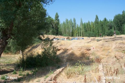 |
|
Type:
|
Mound |
|
Altitude:
|
1260 m |
|
Region:
|
Eastern Anatolia |
|
Province:
|
Kahramanmaras |
|
District:
|
Afsin |
|
Village:
|
Bakraç |
|
Investigation Method:
|
Survey |
|
Period:
|
Late |
|
|
|
 |
|
| The mound lies west side of Bakraç (Aristil) Village; west-northwest of Elbistan District; north of Kahramanmaras Province. It was partially damaged by the villagers. G.H. Brown named the site as Aristil 1 while von der Osten named it as Küzül Höyük. There are remains of stone structures on the flat top of the mound. A survey was conducted by Brown in 1962. Potsherds of dark faced burnished ware and light orange colored ware were collected. Brown claims that these finds belong to the Late Chalcolithic Age; while Hours claims that these finds date back to Korucutepe Phase A. There are also potsherds belong to the EBA; MBA; and LBA. |
| Location: |
| Geography and Environment: |
| History: |
| Research and Excavation: |
| Stratigraphy: |
| Small Finds: |
| Remains: |
| Interpretation and Dating: |