|
©The Archaeological Settlements of Turkey - TAY Project
|
|
|
|
|
|
Kurbantepe |
|
|
For site maps and drawings please click on the picture...  |
For photographs please click on the photo... 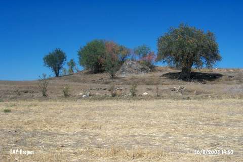 |
|
Type:
|
Mound |
|
Altitude:
|
450 m |
|
Region:
|
Black Sea |
|
Province:
|
Çorum |
|
District:
|
Dodurga |
|
Village:
|
Berk |
|
Investigation Method:
|
Survey |
|
Period:
|
|
|
|
|
 |
|
| It lies on the western bank of the Kizilirmak River; 1.4 km east-southeast of Berk Village; southeast of Dodurga District; north-northwest of Çorum Province. Dodurga-Çorum motorway runs southwest of the mound. During the 1996 Survey of Çorum Province conducted under T. Sipahi and T. Yildirim; sherds dating from the third millennium BC and the Middle Age were recovered from the surface. The mound measures 100x150 m in dimensions. From time to time; illicit diggings are reported. |
| Location: |
| Geography and Environment: |
| History: |
| Research and Excavation: |
| Stratigraphy: |
| Small Finds: |
| Remains: |
| Interpretation and Dating: |