|
©The Archaeological Settlements of Turkey - TAY Project
|
|
|
|
|
|
Kum Ocagi |
|
|
For site maps and drawings please click on the picture... 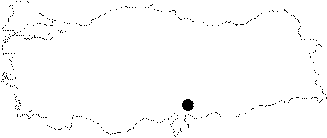 |
For photographs please click on the photo...  |
|
Type:
|
Flat Settlement |
|
Altitude:
|
335 m |
|
Region:
|
Southeastern Anatolia |
|
Province:
|
Gaziantep |
|
District:
|
Nizip |
|
Village:
|
Gürçay |
|
Investigation Method:
|
Survey |
|
Period:
|
Late |
|
|
|
 |
|
| Location: The site is located southeast of Gaziantep and the district of Nizip; 1.2 km south of Gurcay (Girlavik) Village. |
| Geography and Environment: The site lies on the Holocene Period terrace of the west bank of Euphrates. The present sections suggest a cultural deposit of 1 Ğ 1.5 m for this site that lies across Tiladir Tepe. It is a 420x150 m settlement; covering an area of 6.3 hectares; probably with only one phase. The cultural deposit is severely damaged since 1989; when it was first discovered; due to taking away sand and gravel for the construction of Hancagiz Dam. |
| History: |
| Research and Excavation: It was discovered in 1989; during the Tigris-Euphrates Archaeological Reconnaissance Survey conducted by G. Algaze for researching the sites endangered by future inundation. The sherds collected during this survey from the surface of the mound (?) has led to the conclusion that it was a one-phase Uruk settlement founded on main rock. |
| Stratigraphy: It is considered as a one-phase settlement due to the similarity of the surface finds. |
| Small Finds: Pottery: South Mezopotamia Uruk Period finds; namely bevelled rim bowls; rim slipped bowls; and incised decoration on jar sherds are observed in the assemblage. |
| Remains: |
| Interpretation and Dating: The site named Kum Ocagi by Algaze's team; is striking as a very large; one-phase settlement. It will probably be inundated when the construction of Kargamis Dam is finished and therefore is one of the sites that requires urgent salvage excavation. |