|
©The Archaeological Settlements of Turkey - TAY Project
|
|
|
|
|
|
Köy Tepesi |
|
|
For site maps and drawings please click on the picture...  |
For photographs please click on the photo... 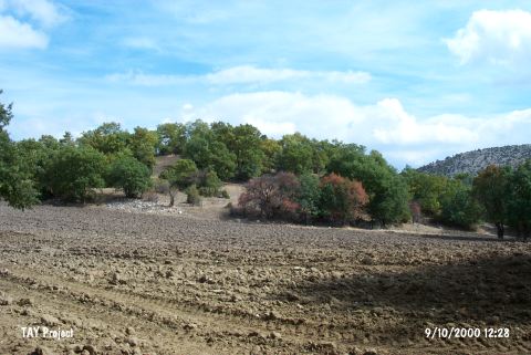 |
|
Type:
|
Flat Settlement |
|
Altitude:
|
1030 m |
|
Region:
|
Aegean |
|
Province:
|
Kütahya |
|
District:
|
Tavsanli |
|
Village:
|
Basköy |
|
Investigation Method:
|
Survey |
|
Period:
|
Late |
|
|
|
 |
|
| The site lies west of Kütahya; southwest of Tavsanli; and 1 km southwest of Basköy Village. It is the sloping area on the southeastern slope of the hill known as Köy Tepesi. Sarikaya stream runs east of the settlement. It was discovered during the 1989 Kütahya; Bilecik; Eskisehir Survey by T. Efe. Among the Late Chalcolithic Age (beginning of); LBA; and Iron Age finds collected from the surface; the Chalcolithic Age sherds are declared to be the most striking finds by Efe. These consist of sherds with burnished decoration and horn handles known from the phases previous to Troy I (namely Kumtepe Ia); therefore it is possible to deduce that the distribution of such ware reaches almost as far as the borders of Central Anatolia Region. It takes place in the registered archaeological sites list prepared by Ministry of Culture and Tourism. |
| Location: |
| Geography and Environment: |
| History: |
| Research and Excavation: |
| Stratigraphy: |
| Small Finds: |
| Remains: |
| Interpretation and Dating: |