|
©The Archaeological Settlements of Turkey - TAY Project
|
|
|
|
|
|
Köseler Üyücek |
|
|
For site maps and drawings please click on the picture...  |
For photographs please click on the photo... 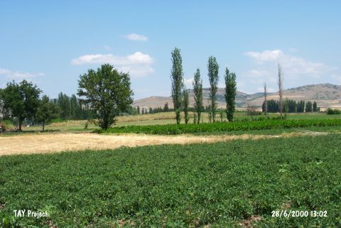 |
|
Type:
|
Mound |
|
Altitude:
|
121 m |
|
Region:
|
Marmara |
|
Province:
|
Balikesir |
|
District:
|
Merkez |
|
Village:
|
Köseler |
|
Investigation Method:
|
Survey |
|
Period:
|
EBA II EBA III |
|
|
|
 |
|
| It lies 500 m west of the Kazikli Stream; 700 m southeast of Köseler Village; east of Balikesir Province. It measures 80x3-4 m. To the west flows the Kazikli stream. It was discovered in 1959 by D.H. French and revisited during the Balikesir Survey conducted by M. Özdogan in 1987. Materials varying from the EBA to the Hellenistic Period were collected from the surface. The mica and grit tempered; black; gray; brown and reddish brown; burnished and sometimes washed EBA pottery was recovered as well as the red washed; burnished pottery. It is about to completely demolish due to heavy cultivation; terracing and illicit digging. Code K9/1. |
| Location: |
| Geography and Environment: |
| History: |
| Research and Excavation: |
| Stratigraphy: |
| Small Finds: |
| Remains: |
| Interpretation and Dating: |