|
©The Archaeological Settlements of Turkey - TAY Project
|
|
|
|
|
|
Köseler |
|
|
For site maps and drawings please click on the picture...  |
For photographs please click on the photo... 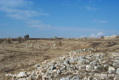 |
|
Type:
|
Mound |
|
Altitude:
|
800 m |
|
Region:
|
Aegean |
|
Province:
|
Usak |
|
District:
|
Ulubey |
|
Village:
|
Köseler |
|
Investigation Method:
|
Survey |
|
Period:
|
EBA II |
|
|
|
 |
|
| It lies in Ören Mevkii; 4 km south of Köseler Village; 21 km south of Usak Province. To the east flows Yavu Stream which is one of the branches of the Banaz Stream. It is included in the EBA settlements by D.H. French. The mounds of Birliktepe; Köseler and Yikik are listed adjacent to each other. |
| Location: |
| Geography and Environment: |
| History: |
| Research and Excavation: |
| Stratigraphy: |
| Small Finds: |
| Remains: |
| Interpretation and Dating: |