|
©The Archaeological Settlements of Turkey - TAY Project
|
|
|
|
|
|
Araplar |
|
|
For site maps and drawings please click on the picture...  |
For photographs please click on the photo... 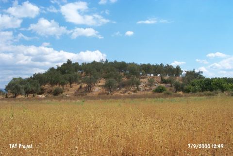 |
|
Type:
|
Mound |
|
Altitude:
|
40 m |
|
Region:
|
Aegean |
|
Province:
|
Balikesir |
|
District:
|
Edremit |
|
Village:
|
Yolören |
|
Investigation Method:
|
Survey |
|
Period:
|
EBA I EBA II EBA III |
|
|
|
 |
|
| It is a huge mound near Yolören (Araplar) Village; 4 km west of Edremit District; Balikesir Province. It is also known as Araplar Üyücek or Arapli Höyük. It is 300-400 m southeast of the motorway and south of Kaz Mountains. On the northeastern section are the remains of a wall measuring 6-7 m and on the northern section the remains of a defense system. It was discovered by M. Özdogan during the Balikesir Survey in 1987. Materials of all EBA phases and the Classical Period were collected from the surface. Code K 4/1. |
| Location: |
| Geography and Environment: |
| History: |
| Research and Excavation: |
| Stratigraphy: |
| Small Finds: |
| Remains: |
| Interpretation and Dating: |