|
©The Archaeological Settlements of Turkey - TAY Project
|
|
|
|
|
|
Koyunbaba |
|
|
For site maps and drawings please click on the picture...  |
For photographs please click on the photo... 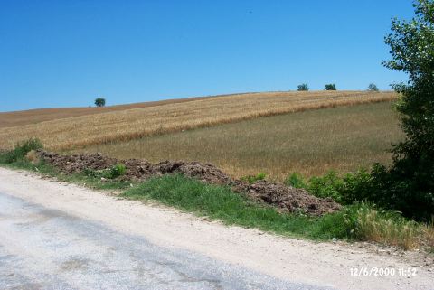 |
|
Type:
|
Mound |
|
Altitude:
|
57 m |
|
Region:
|
Marmara |
|
Province:
|
Kirklareli |
|
District:
|
Merkez |
|
Village:
|
Koyunbaba |
|
Investigation Method:
|
Survey |
|
Period:
|
|
|
|
|
 |
|
| It lies on the eastern bank of the Teke Stream; about 200 m north of Koyunbaba Village; Merkez District of Kirklareli Province. A tributary of the Teke stream runs through the west of the mound. The settlement measures 171 m in the north-south direction. The settlement was bisected by the Bedre-Koyunbaba road. It was discovered during the Regional Survey of Thrace conducted by M. Özdogan. EBA material as well as Early Chalcolithic Age (=Karanovo III) material was recovered from the surface. It was revisited during the Kirklareli Survey by Özdogan et al in 2006 [Özdogan (E) et al. 2008:266]. It takes place in the registered archaeological sites list prepared by Ministry of Culture and Tourism. |
| Location: |
| Geography and Environment: |
| History: |
| Research and Excavation: |
| Stratigraphy: |
| Small Finds: |
| Remains: |
| Interpretation and Dating: |