|
©The Archaeological Settlements of Turkey - TAY Project
|
|
|
|
|
|
Koyunbaba |
|
|
For site maps and drawings please click on the picture...  |
For photographs please click on the photo... 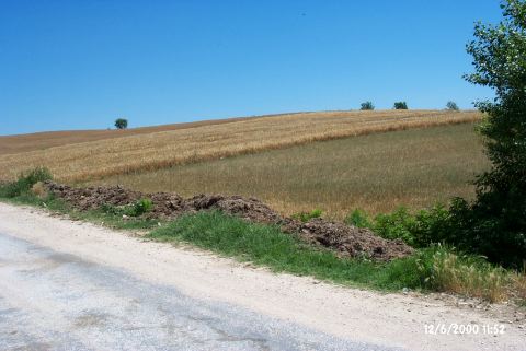 |
|
Type:
|
Mound |
|
Altitude:
|
57 m |
|
Region:
|
Marmara |
|
Province:
|
Kirklareli |
|
District:
|
Merkez |
|
Village:
|
Koyunbaba |
|
Investigation Method:
|
Survey |
|
Period:
|
|
|
|
|
 |
|
| The mound lies southwest of Kirklareli and north of Inece village. The mound is surrounded by fields. To the east is the village of Koyunbaba and at the northern exit of the village the village fountain. A tributary of the Teke stream runs through the west of the mound. The settlement measures 171 m in the north-south direction. From this settlement discovered by M. Özdogan; sherds contemporary with Karanovo III-V / Veselinova-Meriç horizons have been collected. It takes place in the registered archaeological sites list prepared by Ministry of Culture and Tourism. |
| Location: |
| Geography and Environment: |
| History: |
| Research and Excavation: |
| Stratigraphy: |
| Small Finds: |
| Remains: |
| Interpretation and Dating: |