|
©The Archaeological Settlements of Turkey - TAY Project
|
|
|
|
|
|
Arapkahve |
|
|
For site maps and drawings please click on the picture...  |
For photographs please click on the photo... 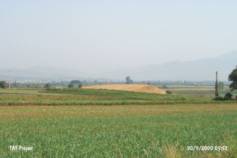 |
|
Type:
|
Mound |
|
Altitude:
|
20 m |
|
Region:
|
Aegean |
|
Province:
|
Izmir |
|
District:
|
Torbali |
|
Village:
|
Özbey |
|
Investigation Method:
|
Survey |
|
Period:
|
|
|
|
|
 |
|
| It is located west of the village of Özbey; 3 km north of the ancient city of Metropolis; south of Izmir Province. The settlement consists of two cones; one to the north and the other to the south. To the south flows the Arap Stream (Çevlik Stream) leading to the Küçük Menderes Stream. The site is locally known as Tepe. It was discovered by R. Meriç. It measures 200x60 m. It has two cones. Materials collected from the surface expose that the site had been inhabited more or less continuously from the Late Chalcolithic Age to the Roman Period. It takes place in the registered archaeological sites list prepared by Ministry of Culture and Tourism. |
| Location: |
| Geography and Environment: |
| History: |
| Research and Excavation: |
| Stratigraphy: |
| Small Finds: |
| Remains: |
| Interpretation and Dating: |