|
©The Archaeological Settlements of Turkey - TAY Project
|
|
|
|
|
|
Kocahöyük / Gazelyakup |
|
|
For site maps and drawings please click on the picture...  |
For photographs please click on the photo... 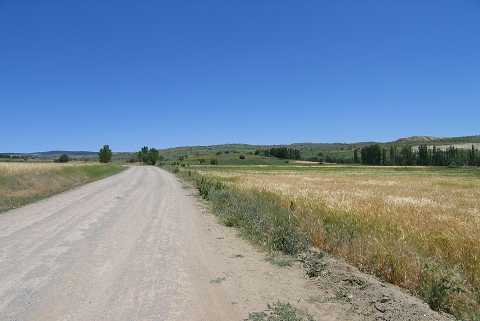 |
|
Type:
|
Mound |
|
Altitude:
|
1160 m |
|
Region:
|
Aegean |
|
Province:
|
Kütahya |
|
District:
|
Tavsanli |
|
Village:
|
Gazelyakup |
|
Investigation Method:
|
Survey |
|
Period:
|
EBA II EBA III |
|
|
|
 |
|
| It is located 1.5 km northeast of the village of Gazelyakup; northwest of Kütahya Province. It lies in a plain area. It measures 100x7 m. From the northwest passes the road of Gazelyakup-Kiranseyh. To the east-southeast flows a stream and to the southeast is a coal mine. During the survey conducted by T. Efe in 1989; materials of the EBA I/III and the Classical Period were collected from the surface. It takes place in the registered archaeological sites list prepared by Ministry of Culture and Tourism. |
| Location: |
| Geography and Environment: |
| History: |
| Research and Excavation: |
| Stratigraphy: |
| Small Finds: |
| Remains: |
| Interpretation and Dating: |