|
©The Archaeological Settlements of Turkey - TAY Project
|
|
|
|
|
|
Kocahöyük Batisi |
|
|
For site maps and drawings please click on the picture...  |
For photographs please click on the photo... 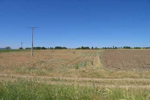 |
|
Type:
|
Habitation Site / Workshop |
|
Altitude:
|
820 m |
|
Region:
|
Aegean |
|
Province:
|
Kütahya |
|
District:
|
Domaniç |
|
Village:
|
Çakilköy |
|
Investigation Method:
|
Survey |
|
Period:
|
AP |
|
|
|
 |
|
| Location: This site lies in the province of Kütahya; northwest of the city; 2 km; as the crow flies; southeast of the town of Domaniç; west of Kocahöyük Tepe and the village of Çakilköy. |
| Geography and Environment: The western fields the site lie on are very close to the large Kocahöyük mound. There is a small stream flowing by this habitation site. The finds are scattered in an area with a radius of approximately 300 m. |
| History: |
| Research and Excavation: The site was discovered by Turan Efe during his 1988 survey of the region. |
| Stratigraphy: |
| Small Finds: The artifacts include chopping tools; biface handaxes and rough flakes mostly without retouching; which have been assigned to the Lower Palaeolithic by Efe. The scratch marks on the tools; visible in the published photos; indicate that they were transported to this location by natural processes [Efe 1990:406; fig.4-5]. |
| Remains: |
| Interpretation and Dating: |