|
©The Archaeological Settlements of Turkey - TAY Project
|
|
|
|
|
|
KM 74 Yagmalihöyük |
|
|
For site maps and drawings please click on the picture...  |
For photographs please click on the photo... 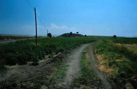 |
|
Type:
|
Mound |
|
Altitude:
|
580 m |
|
Region:
|
Mediterranean |
|
Province:
|
Kahramanmaras |
|
District:
|
Merkez |
|
Village:
|
Tevekkeli |
|
Investigation Method:
|
Survey |
|
Period:
|
Late |
|
|
|
 |
|
| The mound lies south of Tevekkeli Village; 3.7 km north of Sivricehüyük Village; approximately 17 km southeast of Kahramanmaras Province. (The settlement appears as Yagma Höyük on the 1:200;000 map.) It is discovered by E. Carter during the 1994 Kahramanmaras Archaeological Survey Project. The presence of settlements from Late Chalcolithic Age to the end of EBA; interrelated with Amuq F and G phases; is reported. It takes place in the registered archaeological sites list prepared by Ministry of Culture and Tourism. |
| Location: |
| Geography and Environment: |
| History: |
| Research and Excavation: |
| Stratigraphy: |
| Small Finds: |
| Remains: |
| Interpretation and Dating: |