|
©The Archaeological Settlements of Turkey - TAY Project
|
|
|
|
|
|
KM 43 |
|
|
For site maps and drawings please click on the picture... 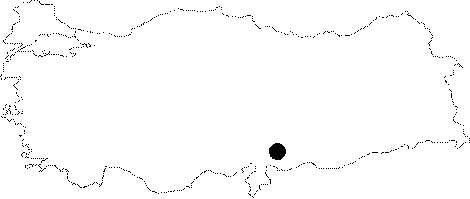 |
For photographs please click on the photo...  |
|
Type:
|
Single Findspot |
|
Altitude:
|
m |
|
Region:
|
Mediterranean |
|
Province:
|
Kahramanmaras |
|
District:
|
Merkez |
|
Village:
|
|
|
Investigation Method:
|
Survey |
|
Period:
|
AP |
|
|
|
 |
|
| Location: This site is located southeast of the city of Kahramanmaras. It lies south of the Aksu River; north of the road between the Totolar nomad encampment and the Camizoglu Farm. |
| Geography and Environment: The site lies in the fertile soil watered by the Aksu River. No other geographical/geological information has been provided. |
| History: |
| Research and Excavation: This site was discovered during the surface survey led by E. Carter in the Kahramanmaras Region in 1993. |
| Stratigraphy: |
| Small Finds: The site yielded two biface handaxes. The artifact densities and number of finds recovered have so far been unreported. Similar chipped stone tools have been found at Latmene in Syria [Carter 1995:333]. In their report on the Palaeolithic site SAK 14; Garrard et al. mention that Carter's survey in this region yielded Acheuléen finds [Garrard et al. 1996:59]. |
| Remains: |
| Interpretation and Dating: |