|
©The Archaeological Settlements of Turkey - TAY Project
|
|
|
|
|
|
KM 17 Mine Höyük |
|
|
For site maps and drawings please click on the picture...  |
For photographs please click on the photo... 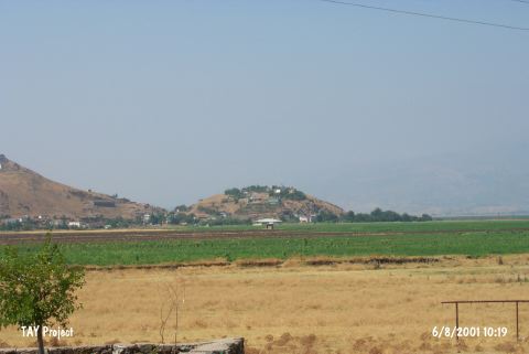 |
|
Type:
|
Mound |
|
Altitude:
|
530 m |
|
Region:
|
Mediterranean |
|
Province:
|
Kahramanmaras |
|
District:
|
Türkoglu |
|
Village:
|
Minehüyük |
|
Investigation Method:
|
Survey |
|
Period:
|
Late |
|
|
|
 |
|
| The mound discovered in 1993; lies in Minehüyük Village; southeast of Türkoglu District; 47 km south of Kahramanmaras Province. West of the mound is Kiriskal swamp. It is a site examined by E. Carter as a part of the Kahramanmaras Archaeological Survey Project. Despite the abundance of Late Chalcolithic Age sherds collected from the surface; no Uruk ware was found present. Depending on this observation; E. Carter states that the region possesses a local development in Late Chalcolithic Age and Early Bronze Age 1. |
| Location: |
| Geography and Environment: |
| History: |
| Research and Excavation: |
| Stratigraphy: |
| Small Finds: |
| Remains: |
| Interpretation and Dating: |