|
©The Archaeological Settlements of Turkey - TAY Project
|
|
|
|
|
|
Kireli |
|
|
For site maps and drawings please click on the picture...  |
For photographs please click on the photo... 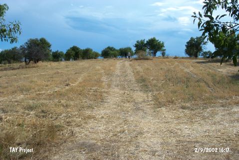 |
|
Type:
|
Mound |
|
Altitude:
|
1165 m |
|
Region:
|
Central Anatolia |
|
Province:
|
Konya |
|
District:
|
Hüyük |
|
Village:
|
Kireli |
|
Investigation Method:
|
Survey |
|
Period:
|
|
|
|
|
 |
|
| It lies west of Kireli Village; southeast of Hüyük District of Konya Province. West-southwest of the mound locates Beysehir Lake and a dirt road passes east-northeast. The mound which is locally called Höyük Tepesi was discovered by S. Lloyd and J Mellaart and dated to EBA. |
| Location: |
| Geography and Environment: |
| History: |
| Research and Excavation: |
| Stratigraphy: |
| Small Finds: |
| Remains: |
| Interpretation and Dating: |