|
©The Archaeological Settlements of Turkey - TAY Project
|
|
|
|
|
|
Kilise Tepe 2 |
|
|
For site maps and drawings please click on the picture...  |
For photographs please click on the photo... 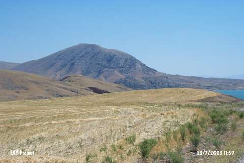 |
|
Type:
|
Mound |
|
Altitude:
|
750 m |
|
Region:
|
Eastern Anatolia |
|
Province:
|
Malatya |
|
District:
|
Arguvan |
|
Village:
|
Karababa |
|
Investigation Method:
|
Survey |
|
Period:
|
|
|
|
|
 |
|
| It lies southeast of Karababa Village; south-southeast of Arguvan District of Malatya. East of the mound Karakaya Dam reservoir exist. It is 80x60x10 m in dimensions. It was discovered by M. Özdogan during Lower Euphrates Basin Survey in 1977 and dated to EBA. |
| Location: |
| Geography and Environment: |
| History: |
| Research and Excavation: |
| Stratigraphy: |
| Small Finds: |
| Remains: |
| Interpretation and Dating: |